
Tuesday, September 1
Late Summer Heatwave Grips the Commonwealth
A powerful heat dome will settle over Kentucky, bringing clear skies and near-record temperatures. Most regions will see highs in the mid-to-upper 90s, with a few locations potentially reaching the triple digits under intense afternoon sun.
Confidence Assessment
High confidence exists due to strong model agreement on the synoptic pattern, featuring a stagnant heat dome and a lack of moisture return across all levels of the atmosphere.
Get Personalized Forecasts
Choose which region in Kentucky you're interested in and we'll always show you that one first. You can change your selected region by clicking the "Star" icon on any regional forecast.
Purchase Area
Expect clear skies and intense heat with temperatures peaking near 98 degrees. A few spots may touch 100 degrees by late afternoon.
Northwest Pennyrile
Temperatures will climb into the upper 90s with full sunshine. Light winds will provide little relief.
Southwest Pennyrile
Highs will reach the mid-90s under clear blue skies. High humidity may push heat indices into the low 100s.
Barren River
Expect sunny and sweltering conditions with highs reaching 95 degrees. Winds will be very light.
Louisville Metro
The urban heat island will push temperatures to near 99 degrees. Very warm conditions will persist well after sunset.
Lincoln Trail
Abundant sunshine and high temperatures in the mid-90s are expected. No chance of rain.
Lake Cumberland
A hot and sunny day with highs reaching 94 degrees. Lake-side areas may see a very slight breeze.
Northern Kentucky
Near-record temperatures are expected as highs climb to 97 degrees under full sun.
Inner Bluegrass
Sunny skies and hot conditions will prevail with a high of 94. A light south breeze is possible.
Bluegrass Foothills
Expect a very warm and sunny day with temperatures in the low 90s. No rain is expected.
Northeast Kentucky
Highs will reach 95 degrees with bright sunshine all day. Morning valley fog will burn off quickly.
Southeast Kentucky
The mountains will see a hot, clear day with highs in the low 90s. Higher elevations will be slightly cooler.
Possible Outcomes
Weather forecasting involves uncertainty. Below are two scenarios representing the range of possible outcomes: the "Boom" scenario shows the worst-case/highest-impact result if conditions align unfavorably, while the "Bust" scenario shows the best-case/lowest-impact result if the forecast doesn't materialize as expected.
The 'Boom' Scenario
The 'Boom' heat scenario occurs if the GFS verification of +24C at 850mb combines with dry soil feedback to push temperatures to 100-102°F across the Louisville and Purchase regions.
The 'Bust' Scenario
The 'Bust' scenario involves slightly higher surface moisture or an earlier arrival of high-level cirrus from the north, keeping peak temperatures in the low-to-mid 90s instead of the upper 90s.
Model Disagreements
When models disagree, a call must be made to determine the most likely outcome. This decision is based on a combination of factors including model performance, historical data, and the models general accounting of each climatic region of Kentucky.
The Triple-Digit Threshold
A disagreement exists between the GFS and ECMWF regarding the peak intensity of surface heating. The GFS is aggressive with 100-degree readings in urban and western zones, while the ECMWF is more conservative with mid-90s.
Why GFS Wins
In late-summer high-pressure regimes with dry soils, global models like the GFS often better capture the peak thermal potential of the boundary layer compared to the typically cooler bias of the ECMWF.
Celestial Almanac
Waning Gibbous
Purchase Area
Northwest Pennyrile
Southwest Pennyrile
Barren River
Louisville Metro
Lincoln Trail
Lake Cumberland
Northern Kentucky
Inner Bluegrass
Bluegrass Foothills
Northeast Kentucky
Southeast Kentucky
Forecast Charts
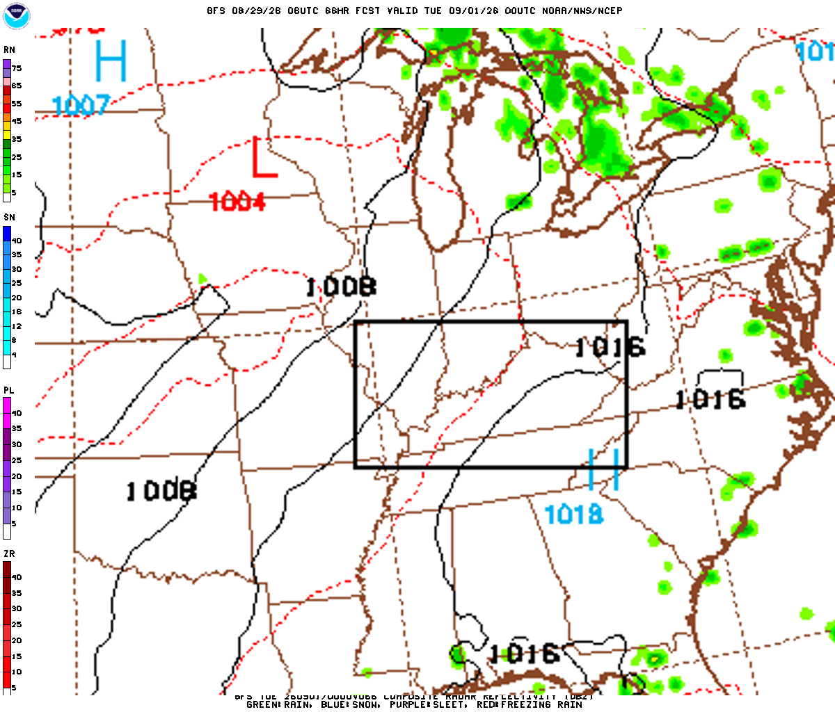
These maps are generated by the weather agencies based on the raw data that the weather models predict. The final forecast is generated using the same raw data shown on the map. Keep in mind that the models (and therefore the maps) will generally disagree on specific parts of the forecast. Use these as guidance - not as a final prediction.
Dive Deeper Into the Models
This forecast is a synthesis of raw data from the NAM, GFS, ECMWF, and GEM models. These models provide detailed atmospheric analyses including 500mb vorticity, precipitation rates, and more. You can take a look at the raw model data by clicking the links below.